Community Environment Government
Pierce County asking public to weigh in on flood plan
Pierce County, seeking the public’s help in updating its flood plan, will hold four open houses the next few weeks.
The 2023 Comprehensive Flood Management Plan outlines how the county will manage river, coastal, groundwater and urban flooding. In the past, it was confined to rivers flowing off the Cascade Mountains and into Puget Sound.
The plan identifies policies, programs and projects that the county intends to complete within the next 10 years. It encompasses the nine Pierce County watersheds, the Puyallup and Nisqually rivers, their major tributaries and the Puget Sound shoreline.
The draft plan, released Monday, can be viewed at the project website. The county council plans to adopt it in October.
Open house at Burley Community Hall
The nearest open house will be from 5 p.m. to 7 p.m. Thursday, March 23, at Burley Community Hall, 14853 Burley Ave. It will provide an overview of projects, policies, programs and studies that are outlined in the draft plan. There will be no formal presentation. County staff will be on hand to answer questions and collect comments about how they plan to manage flooding in the future.
Those unable to attend in-person can participate in a virtual open house at PierceCountyWa.gov/FloodPlan from now through April 18. There will be an opportunity to complete a survey for the draft plan.
“I definitely am concerned about flooding in our county, and I’m excited about the department’s projects,” said County Councilmember Robyn Denson. Her District 7 includes areas west of the Tacoma Narrows Bridge, Ruston and part of north Tacoma. “Our district certainly experiences coastal flooding. This year, for example, the king tides impacted many homes and businesses. I’m looking forward to working on climate resiliency as it relates to tidal floods in particular.”
Coastal flooding new to plan
Gig Harbor and Key Peninsula residents might be interested in how the county addresses coastal flooding over the next decade, said county Planning and Public Works spokeswoman Akiko Oda. A couple sections of the plan cover coastal flooding, and another identifies recommended projects to address it.
The most visible recent flooding in the Gig Harbor/Key Peninsula watershed, which features the majority of the county’s Puget Sound shoreline, has been from king tides. Abnormally high tides gang up with low atmospheric pressure and sometimes gusty winds to push seawater onto low-lying waterfront properties.

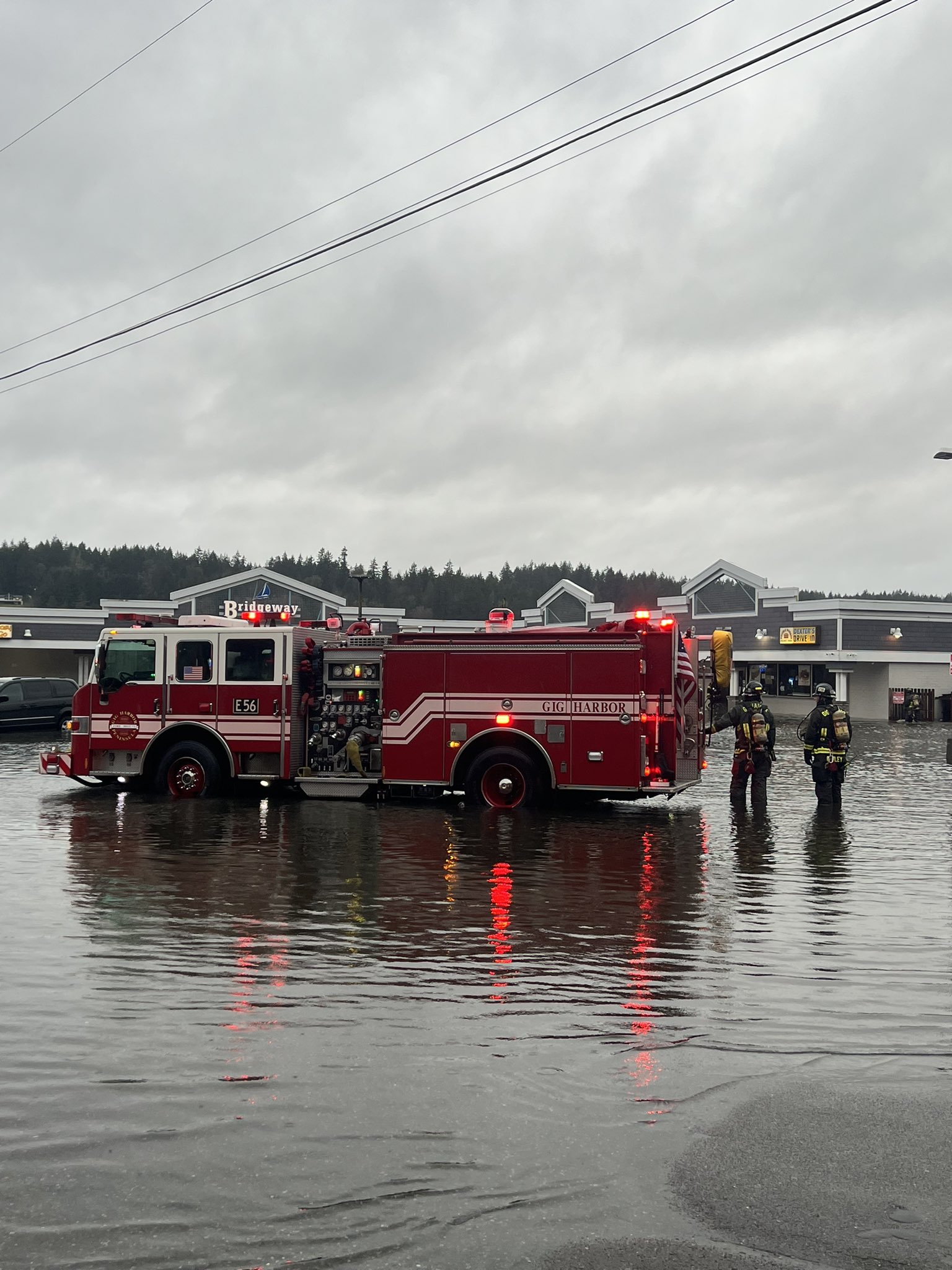
Firefighters ankle-deep in water in Purdy during a king tide event on Tuesday, Dec. 27, 2022. Gig Harbor Fire & Medic One
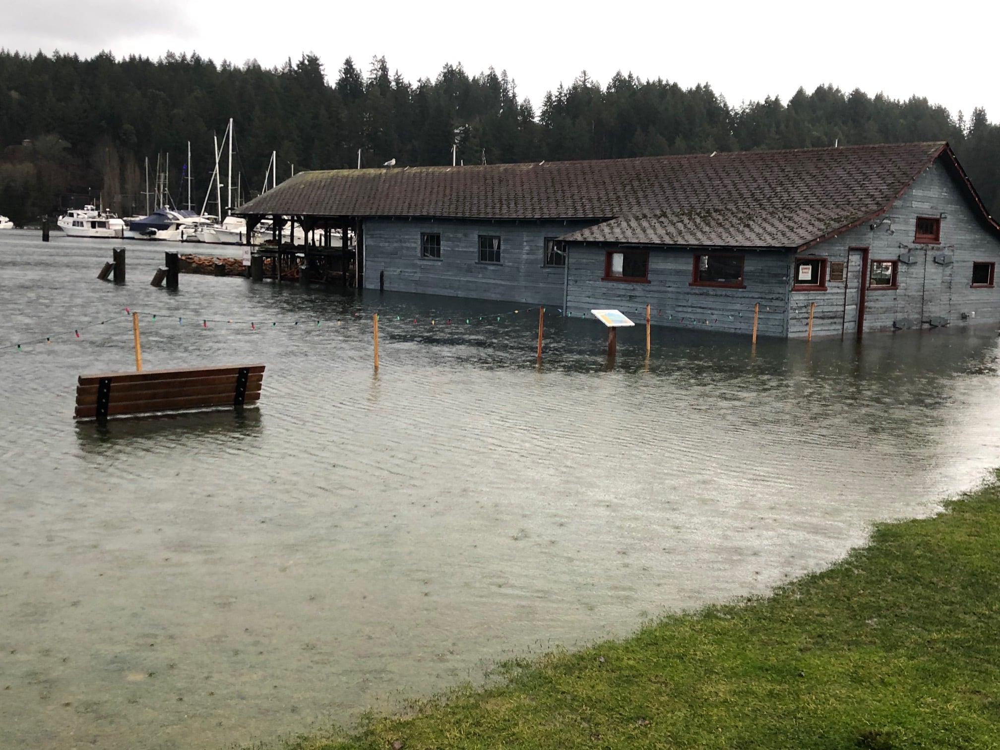
The plan lists six such coastal floods in just the last four years, including the latest on Dec. 27, 2022. Floodwaters swamped Bridgeway Market shopping center in Purdy. Gig Harbor’s Skansie Brothers and Austin Estuary parks became lakes, and water topped bulkheads throughout the region.
Pierce County Emergency Management received about 20 submissions from Gig Harbor and Key Peninsula residents for damage from the flooding and frigid weather earlier in the month.
However, the plan states that, “Pierce County has more than 120 miles of Puget Sound shoreline, but there has never been a declared disaster due to coastal flooding.” Much of the shoreline is steep, and builders put homes beyond the tide’s reach. (There is actually about 180 miles of shoreline.)
Sea level rise could worsen flooding
The plan predicts that coastal flooding will remain a growing concern. “Based on the most up-to-date science research associated with climate change, current climate change projections range from several inches to over 57 inches of sea level rise in Puget Sound by 2100,” it states. “This will exacerbate the existing risk to coastal properties.”
Relatedly, the city of Gig Harbor requested $250,000 from the state operating budget this year for a waterfront climate resiliency study. The work would determine possible impacts of climate change, including rising sea levels, and how the city can mitigate them.
The study would identify flood-prone areas and changes to city infrastructure — such as wastewater, storm water and roads — are necessary to prepare for rising seas.
The city is coordinating with the county on flood plan efforts. It lists urban flooding issues in the 4300 block of 38th Street (near Quail Run) and coastal flooding problems at Skansie Brothers and Austin Estuary parks, and around the lighthouse at the mouth of the bay.
No rivers to flood
As for rivers, the Gig Harbor/Key Peninsula watershed has none, but there are many small creeks that capture stormwater and carry it to Puget Sound. Almost all their flooding is localized and relatively minor, according to the plan.
There has only been one report of flooding in the Gig Harbor area that caused serious damage. Logging on a hillside above several homes near Kopachuck State Park, with no measures to control storm runoff from the denuded slope, caused that flooding. A detention pond fixed the problem.
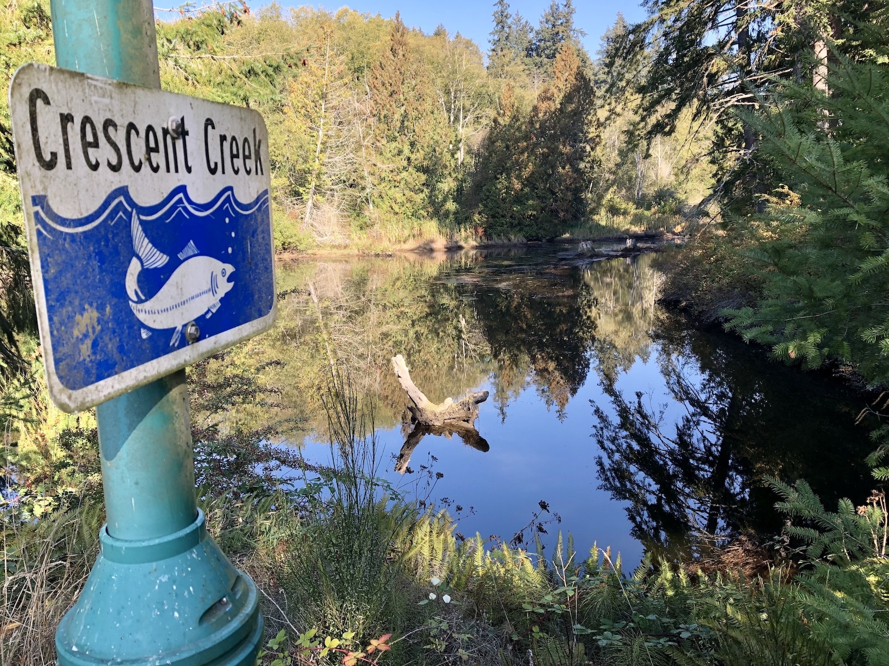
Several people noted that water from Crescent Creek overflows onto Crescent Valley Road at times. On Key Peninsula, there has been history of flooding in the last couple of decades at Huge Creek at 160th Street, making it dangerous to pass through the area.
Creeks drain storm water pretty well
But, in general, the existing system appears to have sufficient capacity to carry stormwater away from structures at the current level of urban development. Undersized culverts and debris accumulating in culverts and ditches cause much of the reported problems. Improved maintenance could solve that, according to the plan.
The plan identifies 17 flood problems in the Gig Harbor area and seven on Key Peninsula, primarily replacing culverts for both flooding and fish passage.


