Community Environment Police & Fire
King tides not expected to bring widespread flooding
The year’s highest tides arrive next week, but aren’t expected to replicate the magnitude of flooding that deluged Gig Harbor-area shorelines last month.
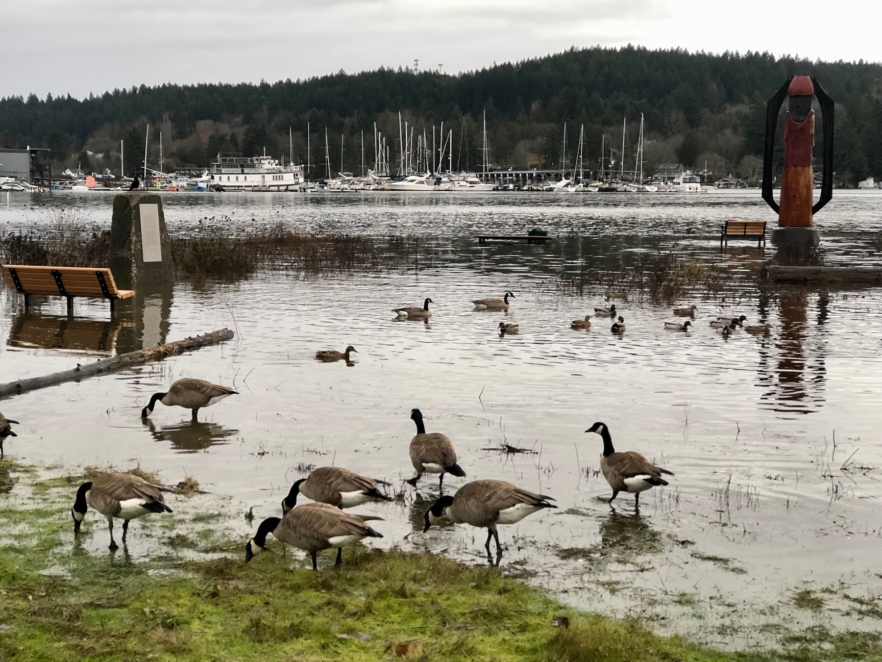
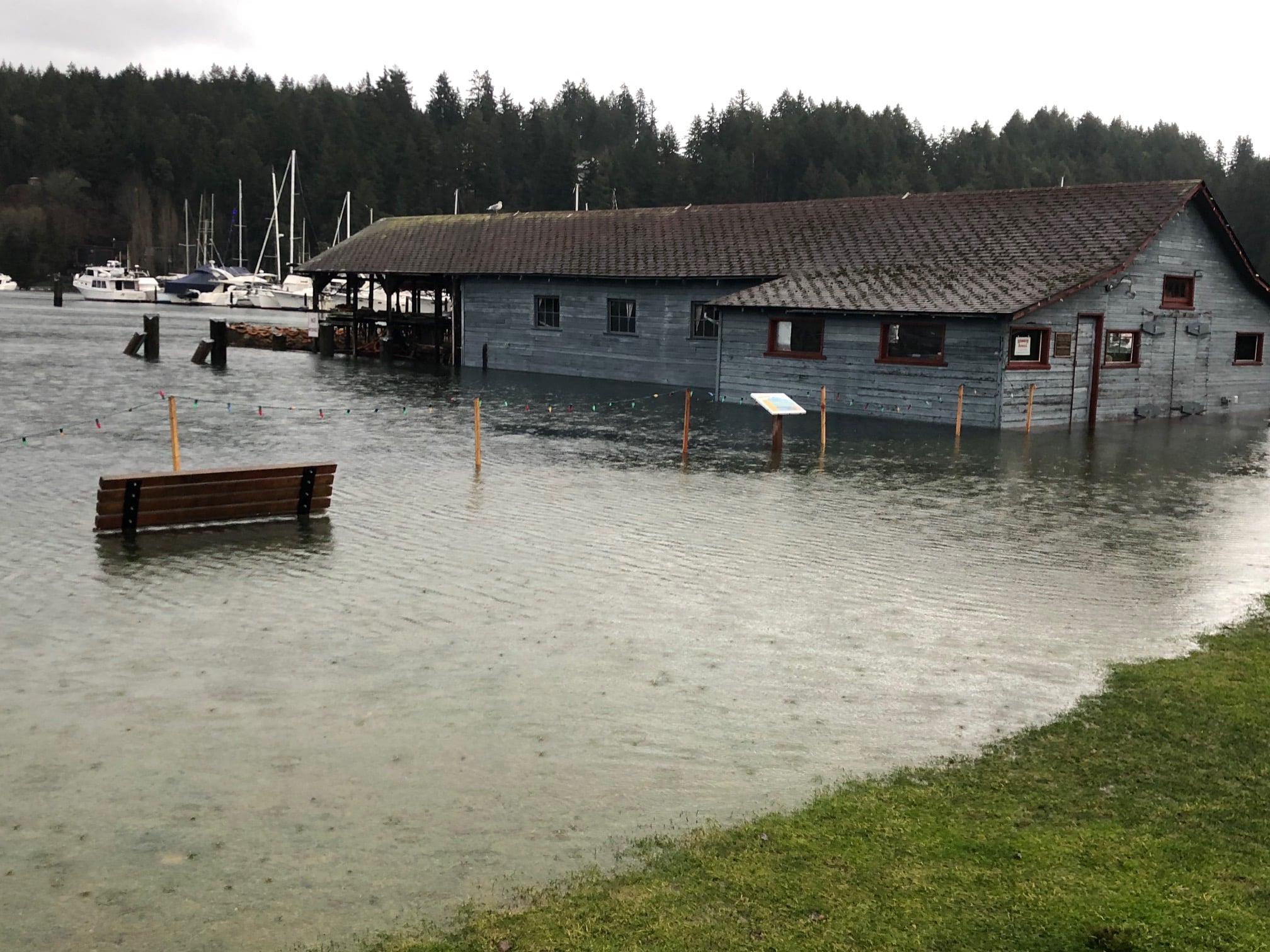
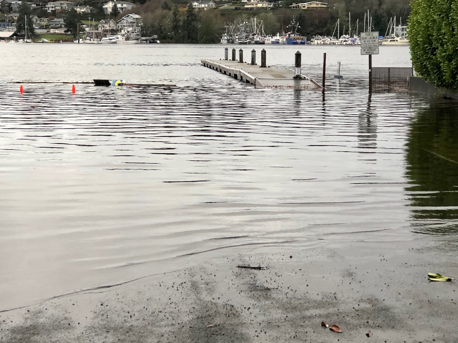
A Dec. 27 king tide of 13.5 feet submerged Skansie Brothers Park and Austin Park at txʷaalqəł Estuary, swamped a Purdy shopping center, and damaged homes and businesses. Firefighters responded to many water-related emergencies.
King tides of of 13.7 feet are projected for Monday, Tuesday and Wednesday (Jan. 23-25), but they won’t be accompanied by the low atmospheric pressure and winds needed to put them over the top.
Could see minor tidal overflows
“The tide alone will be similar,” said Matthew Cullen, lead forecaster with the National Weather Service in Seattle. “However, the big difference is we’re not expecting the additional contributions from the surge and waves on top of that.
“There will be the potential for minor tidal overflows and nuisance flooding. The (air) pressure will be much higher and there’s no big storm system so the water will be lower by a significant amount. It’s not expected to be anything near what we saw back in December.”
Tide heights result from the gravitational pull of the sun and moon on the Earth’s oceans. King tides occur here in December and January, when the moon and sun are closest to the Earth and when Earth is aligned between them and they’re exerting the greatest force.

Weather, on the other hand, particularly atmospheric pressure and winds, is ever-changing, and affects the true water level. Atmospheric pressure is derived from miles of air molecules stacked up and exerting force on the ground at a given point on Earth.
Barometer bottomed out Dec. 27
Low-pressure systems rotate counterclockwise and produce storm systems that bring strong winds and heavy rains, Cullen said. High pressure systems block storms, deflecting them in other directions. Air pressure suppresses the sea’s level during highs and raises it during lows.
On Dec. 27, the barometer bottomed out when an atmospheric river from the Pacific Ocean produced a tidal anomaly 1 to 2 feet higher than the 13.5 shown on tide charts.
“Surface pressure at Sea-Tac Dec. 27 was one of the lowest on record in the last couple decades,” Cullen said. “It happened to match up with the highest tides of the month. We don’t know exactly what the pressure will be five to seven days out, but we have a pretty high confidence it’ll be higher than average and significantly higher than what we saw in December.”
The next day the tide was just an inch lower, but without the extreme low pressure, didn’t cause any problems.
On Dec. 27, Gig Harbor Fire & Medic One responded to 34 calls. Some were for medical treatment, but most were flood-related, said spokeswoman Tina Curran.
Fire department kept busy
The department, because it responds to water rescues, remains alert to potentially dangerous high tides, and flags the possibility during daily ops briefings. Crews weren’t surprised when calls began pouring in around 9:20 a.m.
“What started our morning was the flooding happening at Bridgeway Market (in Purdy),” Curran said. “We were originally dispatched for smoke or something. They were getting a lot of water in contact with electrical panels, so it was sparking.”
Similar electrical emergencies followed, but victims shut off power before sparks escalated into house fires. Firefighters addressed flooding concerns, such as water getting into basements. They helped residents escape the rising tide, including carrying an older Point Fosdick woman up the beach in her wheelchair, Curran said. Many times, they trudged waist deep through saltwater.

A king tide on Tuesday, Dec. 27, ran far onto what is normally dry ground at Austin Park at txʷaalqəł Estuary. Ed Friedrich
“It was really busy,” Curran said. “Within a two-hour time period we were really rocking and rolling.”
Later, as the tide ebbed and the wind kicked up, dispatches shifted to trees across roads and brush fires caused by downed power lines.
Claims for damages submitted
Pierce County Emergency Management received about 20 submissions from Gig Harbor and Key Peninsula residents for damage from Dec. 27 flooding and frigid weather earlier in the month, said spokesman Mike Halliday. Damages included water in walls, wet insulation, ruined decks, mold and broken appliances. Purdy businesses also submitted claims.
The county collects the information and passes it on to the state to determine financial awards. In the mean time, the department awaits the next round of king tides.
“The pressure and the wind will be the two variables we need to keep an eye on as we get closer to the king tides to see if they all come together to cause these problems,” Halliday said. “We and county Public Works are all keeping an eye on it so that if it looks like it’s going to happen we can let people know.”
The county offers an alert program in which residents can sign up to receive notifications about emergencies and important community news. It provides critical information quickly about severe weather, flooding, unexpected road closures, missing persons and evacuations of buildings or neighborhoods. Messages can be sent to home, mobile or business phones, email addresses and text messages on up to 10 different devices.
Stay informed with PC Alert
“PC Alert will let you keep track of the weather situation whether from us or the National Weather Service,” Halliday said. “We should have a good sense a few hours ahead of time if low pressure or wind will be contributing factors to king tides causing flooding. When we do know that, we’ll get the word out to the people.”
Emergency Management staff urge residents to plan ahead for potential flooding. Move items to higher ground and secure them so they’re not moving around and getting damaged or damaging other property.


